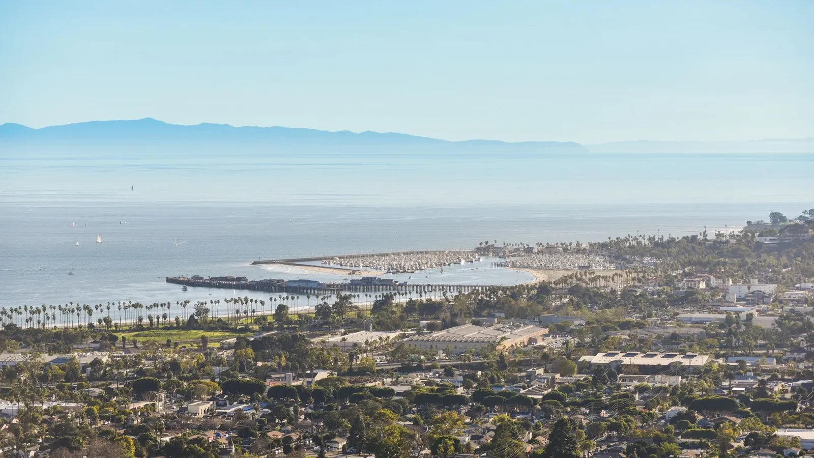
Nearly every mountain range on the California coast runs roughly north to south, parallel to the shoreline. In one county they turn ninety degrees and run east to west instead, and a Santa Barbara County wine region guide that skips over that fact has skipped the only thing that matters. The Santa Ynez Mountains and the San Rafael Mountains both lie crosswise, and the valleys between them open directly onto the Pacific.
The consequence is a county where you can drive twenty-odd miles inland and pass through the equivalent of several climate zones. Grapes that struggle to ripen at one end of a valley bake at the other end of the same valley.
Mountains that run the wrong way
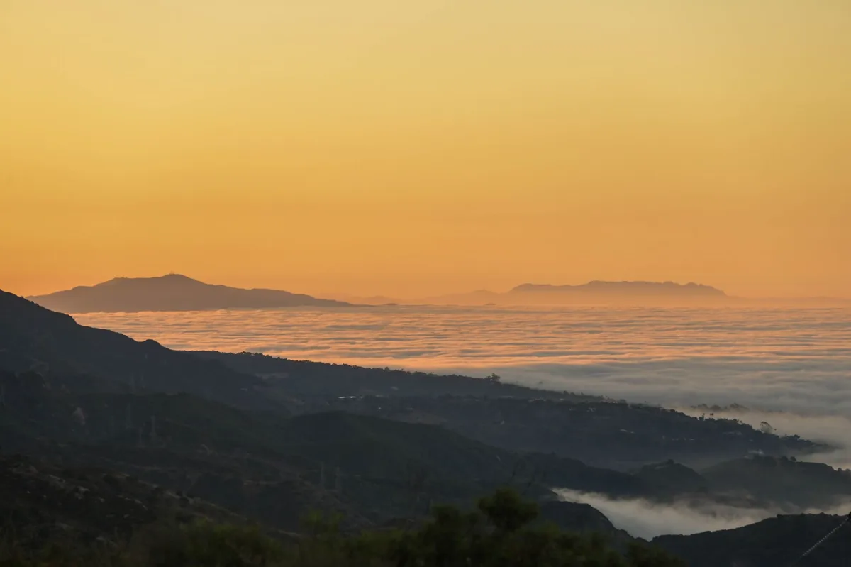
These are the Transverse Ranges, a section of California geology that turned sideways along a bend in the coast. The valley between the Santa Ynez and San Rafael ranges is often described as the longest east-west transverse valley on the Pacific coast of the Americas. Santa Maria Valley, to the north, does the same thing on a shorter axis.
Because the ranges do not stand between the ocean and the interior, they cannot act as a barrier. Instead they act as a funnel with walls on the north and south and nothing at the western end. Cold air travels along the floor of that funnel every day of the growing season.
Wind is the second half of the effect and often the more consequential one. Air drawn inland by rising heat accelerates through the afternoon, and moving air slows photosynthesis and thickens grape skins. Fog cools the mornings, wind cools the afternoons, and between them fruit hangs weeks longer than it would in a sheltered valley.
What the marine layer does when nothing blocks it
The cold air is not simply a breeze but a distinct body of atmosphere. The marine layer forms where moist Pacific air meets cold coastal water, and it is capped by a temperature inversion of warm air sitting above cold. On the West Coast that inversion can hold for days or weeks at a time, which is why the pattern is so much more persistent here than the daily sea breeze of the East Coast.
What normally limits it is topography. As NOAA’s explanation of the marine layer puts it, marine air can move well inland but tall coastal mountains inhibit further penetration, so it takes strong lifting aloft for cooled air to spill over a coast range into the valleys behind it.
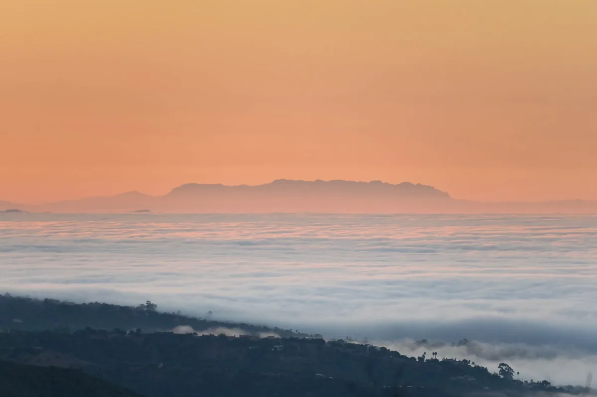
In Santa Barbara County there is nothing to spill over. The marine layer simply runs up the valley until inland heat exhausts it, which is why the coolest sites sit within a few miles of the ocean and the temperature climbs steeply with every mile inland.
The gradient, west to east
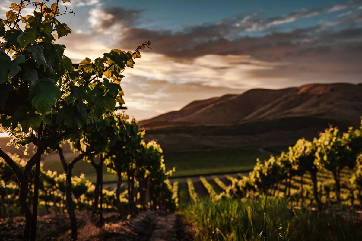
The gradient is easiest to picture as a single line. Start at the beach and every mile inland adds warmth, until the marine layer gives out somewhere short of the eastern hills.
The cold end
Santa Maria Valley became an appellation in 1981, the second-oldest in California, and the western part of the Santa Ynez Valley followed. Growing seasons here are among the longest in the state, because fruit ripens slowly under persistent fog and afternoon wind. Acidity survives to harvest almost regardless of how warm the summer is elsewhere, and picking at the western end can run late into the autumn.
The appellation now written Sta. Rita Hills sits at that western edge of the Santa Ynez Valley and was recognized in 2001. It is a narrow band of hills where the marine influence is at its strongest inside the valley proper.
The middle
Ballard Canyon, the Los Olivos District and Alisos Canyon occupy the central ground, where fog still arrives but retreats earlier in the day. Warmth accumulates enough to ripen Syrah, Grenache and Sangiovese properly while nights stay cold. These are the appellations that most reward paying attention, because they change character over very short distances.
The warm end
Happy Canyon of Santa Barbara sits at the eastern limit of the valley, far enough inland that the marine layer rarely reaches it in force. It ripens Cabernet Sauvignon, Sauvignon Blanc and the other Bordeaux varieties, which would not reliably finish thirty miles west. One county, two entirely different growing propositions.
| Appellation | Established | Marine influence | Grapes it suits |
|---|---|---|---|
| Santa Maria Valley | 1981 | Very strong | Pinot Noir, Chardonnay, Syrah |
| Sta. Rita Hills | 2001 | Very strong | Pinot Noir, Chardonnay |
| Santa Ynez Valley | 1983 | Strong to mild, west to east | Varies across its span |
| Ballard Canyon | 2013 | Moderate | Syrah, Grenache |
| Los Olivos District | 2016 | Moderate | Rhône and Bordeaux varieties |
| Alisos Canyon | 2020 | Moderate | Syrah, Grenache |
| Happy Canyon | 2009 | Weak | Cabernet Sauvignon, Sauvignon Blanc |
Santa Barbara County wine grapes along the funnel
Chardonnay, Pinot Noir and Syrah are the most widely planted varieties in the county, and their distribution maps neatly onto the gradient. Pinot Noir and Chardonnay hold the cold western third, Syrah runs almost the full length, and the Bordeaux varieties are confined to the warm eastern end. Total plantings across the county come to roughly twenty thousand acres.
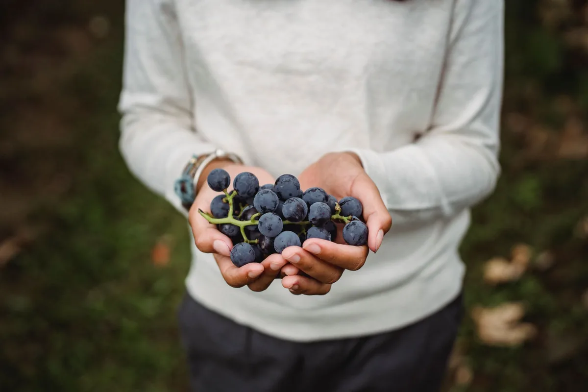
Site selection here is unusually consequential, because a mile can change the answer. The club’s archive includes a November 2011 profile of a grower who chose sites from Washington down to the Santa Rita Hills, weighing variety, clone, rootstock and vine spacing at each one. That is the practical form the gradient takes for someone planting a vineyard.
Italian and Spanish varieties have a foothold here too. The club profiled a Buellton estate of forty-five acres in its July 2010 California winery of the month, and a Santa Ynez Valley Tempranillo appears in an April 2014 winemaker profile from the same archive.
Using this Santa Barbara County wine region guide to choose
The appellation map has grown since the club was writing about it. A February 2015 newsletter noted four federally designated appellations in the county; there are seven today, and three of those were added after that piece ran. The older count is a useful reminder of how quickly the map has been redrawn.
- Cold end — Pinot Noir and Chardonnay with high acidity, for salmon, crab, roast poultry and mushroom.
- Middle — peppery Syrah and Grenache blends, for lamb, duck and grilled vegetables.
- Warm end — Cabernet Sauvignon and Sauvignon Blanc, for red meat and for herby green salads respectively.
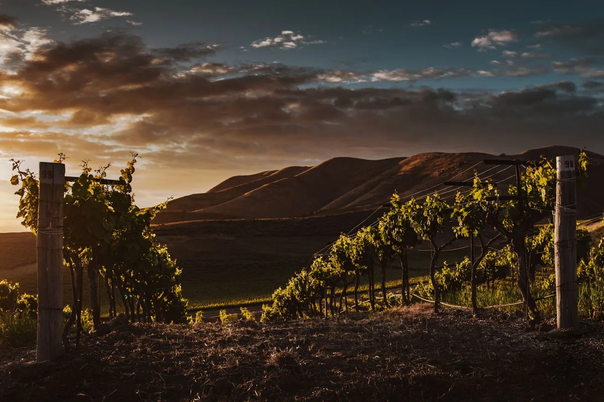
Santa Barbara FAQ
How many appellations does Santa Barbara County have?
Seven, established between 1981 and 2020. Four of them are nested inside the Santa Ynez Valley, which is why a single bottle can carry two appellation names that both apply.
Why can this county grow both Pinot Noir and Cabernet Sauvignon well?
Because the west-to-east temperature gradient inside one valley is steep enough to cover both requirements. The cold end suits early-ripening varieties and the warm end suits late-ripening ones, with roughly thirty miles between them.
Does the fog ever burn off?
Usually, but later in the day the closer a site sits to the ocean. Some western vineyards see the marine layer clear only in the early afternoon, which meaningfully shortens the sunlit day.
How does it compare with other California regions?
The mechanism is unique in scale rather than in kind. Monterey County also opens a valley to the wind, Paso Robles relies on one gap and a huge night-time drop, and Napa Valley stacks its climates by elevation instead.
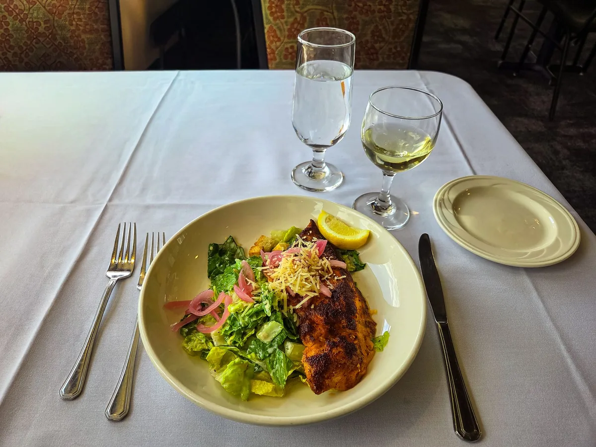
Read a Santa Barbara label as a position on a line running inland from the sea, and the county stops being confusing. The club’s California wine regions hub places it beside the rest of the state, and its 166 California winery profiles record the producers working there between 2010 and 2019.